
Past Events
October 2019
TALKING HISTORY


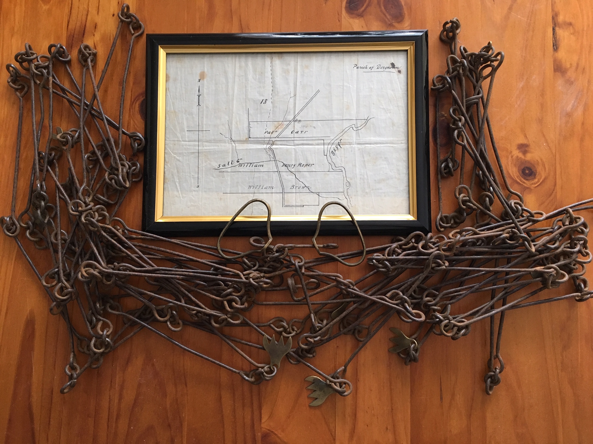
Exhibition: MAPPING GLENELG 1800 -1900 A collection of maps showing charts from the navigators along the coast, 1800-1802; explorers through the district from 1836; squatters on the Glenelg River 1837-1847; surveys for selection after 1860; and Closer Settlement at Wando Vale in 1900. The exhibition also includes hand-drawn maps. One of these is a sketch of the eel weirs at Mt. William by a Djab Wurrung man, requested by Chief Protector George Augustus Robinson in 1841. Today's 'Talking History' is…
 239 A'Beckett Street Melbourne, Victoria, 3000
  03 9326 9288
  office@historyvictoria.org.au
  Office & Library: Weekdays 9am-5pm
